



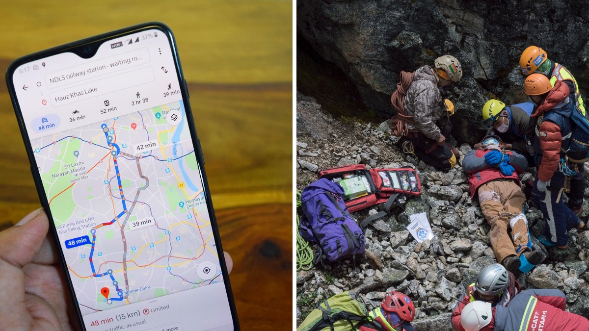

A group of hikers in British Columbia found themselves in serious trouble after planning a mountain trek using Google Maps, which estimated the route would take just over five hours. According to Dexerto, the hike was actually a demanding alpine expedition that typically takes between 12 and 14 hours, eventually forcing a rescue operation.
The hikers were attempting part of the Howe Sound Crest Trail after printing directions generated by Google Maps. The route suggested traveling from Cypress Mountain to West Lion in two hours and 55 minutes, followed by another two hours and 18 minutes to Lions Bay, giving a total estimated hiking time of five hours and 13 minutes.
That estimate turned out to be far from reality. Lions Bay Search and Rescue later described Google’s timing as “wildly optimistic,” explaining that the app failed to reflect the true difficulty of the trail, which led the group into a much bigger challenge than they expected.
Yeah, this definitely wasn’t the five-hour hike Google promised
In a Facebook post, hikers explained that this stretch of the Howe Sound Crest Trail covers about 11 miles, with more than 4,265 feet of elevation gain. The route also includes scrambling sections, loose rock, alpine terrain, and relentless climbs that were never reflected in Google Maps’ estimated travel time. Search and rescue crews eventually responded and brought the hikers back safely.
The organization warned that inaccurate hiking estimates can affect nearly every part of a trip. “If Google Maps tells you a hike will take five hours when it’s realistically a 12 to 14 hour alpine objective, every decision that follows, from your departure time to the amount of food and water you pack, is affected,” the rescue team said.
The group added that incidents like this happen regularly. Hikers often become exhausted, stranded after dark, or unable to complete their routes because they underestimate how demanding mountain terrain can be. We’ve recently seen how quickly backcountry trips can become dangerous, including a case where a solo hike ended in a fatal grizzly bear attack after a Florida man ventured into remote mountain terrain alone.
According to Lions Bay Search and Rescue, Google Maps was designed for roads and city navigation, not backcountry trails, so it doesn’t account for elevation gain, technical climbing sections, current trail conditions, or the physical effort required.
Instead, the team recommended using navigation apps designed specifically for hiking, including AllTrails, Granite, Gaia GPS, and Avenza Maps. These platforms provide offline maps, topographic details, and route-planning tools better suited for mountain travel. They also noted that even the free version of AllTrails lets hikers check recent trail reports, view elevation profiles, and read updates about hazards such as snow, fallen trees, or creek crossings before setting out.
The rescue team stressed that no app can replace proper preparation. Hikers should always check the weather, understand the elevation gain, carry enough food and water, and know when it’s time to turn back.”Please don’t let Google Maps convince you that a serious hike is just another afternoon walk.”
While this rescue had a fortunate ending, it also shows how quickly a hiking trip can become stressful when expectations and reality don’t match. We recently covered another unusual hiking story involving a viral mountain betrayal, where women said they were never hiking with a man again after a bizarre incident unfolded on a remote trail.









Published: Jul 20, 2026 07:45 pm