



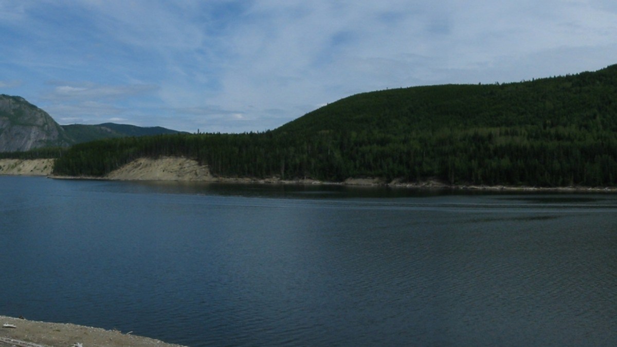

Photos of a forested island drifting on Williston Lake, British Columbia’s largest reservoir, spread on social media this month after a local resident shared them. The land mass was seen north of Mackenzie, about 100 kilometers from the W.A.C. Bennett Dam. A boater took the video and pictures and passed them to a British Columbia local resident, Rocky Avery, who posted them on Facebook.
Avery said he posted the images so people would know about the island ahead of a fishing derby. He also said he wanted B.C. Hydro to know in case it drifted toward the dam. “It was a pretty amazing sight to see, never seen anything like that in my 40 years in this country,” Avery said. “There was a big fishing derby coming up, so I wanted to make sure everybody was aware of what was going on. And I wanted B.C. Hydro to know too that it was out there, just in case it was floating down their way.”
B.C. Hydro spokesperson Bob Gammer said he first doubted the video because of generative AI. He said not everything posted online can be trusted at first glance. “It’s certainly something we’ve not heard of before,” Gammer said. “And with not very many people reporting it, it was difficult to locate.”
Satellite images confirmed the island in July before later photos showed it missing
CBC News reported that satellite imagery dated July 21 showed the island was real. The images placed it in the main body of the reservoir west of Finlay Bay. Gammer said it was estimated at about 70 meters wide and 140 meters long, or about 9,800 square meters, larger than a Canadian football field and nearly the size of two NFL fields.
Gammer said newer snapshots no longer showed the object. “We’ve been taking more updated snapshots and we can’t see the object anymore. So it’s disappeared now,” he said. He said that does not mean it sank. “It doesn’t mean it’s gone to the bottom of the reservoir. It may have returned to a more sheltered area along the shoreline.”
Gammer said no operational impacts are expected. B.C. Hydro is still watching for the island to show up again. The reservoir was created behind the W.A.C. Bennett Dam in 1968. It is the seventh-largest reservoir in the world and can be seen from space. Reservoir levels can fluctuate dramatically, as seen when Lake Powell, the U.S.’s second-largest reservoir, dropped to its lowest level on record, now just 30 feet from losing hydropower.
Gammer said high winter snowpacks and steady summer rains filled the lake to the top. The utility opened the dam’s spillways in June and July to release water. He said the island likely built up over many years along the shore as driftwood piled up and plants and trees took root in the rotting debris.
He said rising water then broke the mass free, and wind carried it into open water. “We haven’t had a full reservoir in 14 years,” Gammer said. “We can’t pinpoint the origin of this floating island [but that’s] one explanation that seems reasonable.” Avery said the high water also washed out shoreline sand dunes used for quad-biking and pulled more trees and debris into the lake than usual.
“There’s areas we would never even drive a boat on before, and now we’re going up over top of it,” Avery said. Similar floating masses have formed after other dams were built. In Wisconsin, large pieces of peat bog broke off after Lake Chippewa was flooded for the Winter Dam.
One of them, called the Forty Acre Bog, is pushed by boat each year so it does not drift into a bridge. Researchers have also looked at floating islands on Lake Victoria in Africa and how they affect boats, fishing, and water quality.
Avery said local tugboat crews pull many logs from the lake, but warned that debris is hard to see when the water is choppy. “When it’s calm, it’s fine. You can usually see them, but you get a little bit of choppy waves and it’s really hard to see them until you’re right on top,” he said. “Some are full-size trees and it’ll do a lot of damage to your boat. So you got to be super careful.”
Gammer said the reservoir is too large to check by boat, so B.C. Hydro relies on public reports and satellite images. He said the utility will keep watching those images for any new sign of the island. The reservoir’s unusual geography has drawn comparisons to other Canadian water bodies, such as when Donald Trump proposed renaming Lake Ontario as Lake America over a trade dispute with Canada.









Published: Sep 1, 2026 04:45 pm