



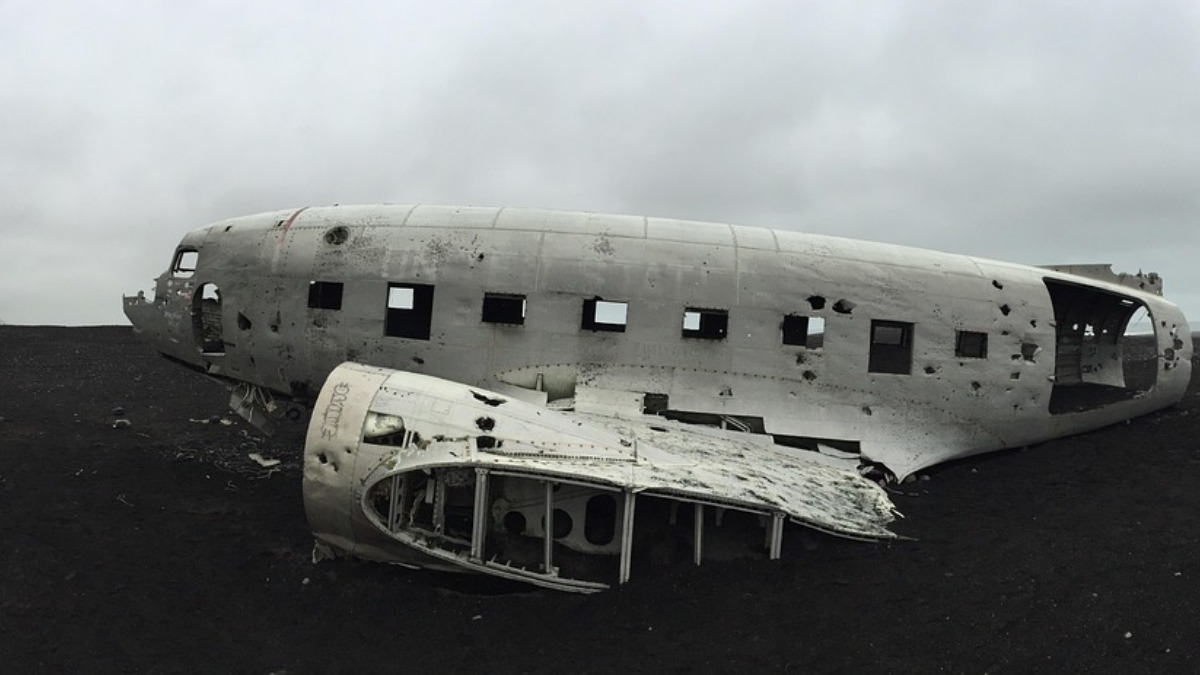

A medevac flight crashed into a mountain in New Mexico in May after a military GPS jamming exercise contributed to a chain of events that left the crew disoriented, as reported by Tom’s Hardware. All four people aboard the Beechcraft King Air, two pilots and two flight nurses, were killed when the aircraft struck terrain near the Capitan Mountains. A preliminary report from the National Transportation Safety Board indicates the jamming did not directly cause the impact, though it appears to have set off the sequence of events that followed.
The flight departed Roswell Air Center at 11:52 PM on May 13, with the crew intending to pick up a patient for transport to Albuquerque. Two minutes later, the pilots received instrument flight rules clearance from the Albuquerque Center, and the flight proceeded normally before entering an area affected by the military’s GPS testing.
At 12:00 AM, the Albuquerque Center notified the crew that they were 1,000 feet above their assigned altitude of 12,000 feet, according to details noted by AOPA. The pilots confirmed they were correcting course but also reported they had lost GPS capability, a loss consistent with the ongoing military exercise in the region. Controllers issued the crew a heading of 275 degrees toward Sierra Blanca Regional Airport, though the interference persisted.
The jamming was called off, but the flight never found its way back
An approach controller contacted an operations supervisor at 12:01 AM to request the military halt the jamming, and the stop order was relayed four minutes later. By 12:07 AM, the aircraft’s GPS instruments had resumed normal recording, though the controller was simultaneously managing three other aircraft reporting GPS issues of their own, amid a wider stretch of crash-related legal coverage this week that included newly released dashcam footage of a crash scene tied to an Oregon assistant coach’s DUII charge.
Despite the resumption of GPS signals, the flight path became erratic. Controllers directed the plane toward the REYOK waypoint to align for landing, but the aircraft turned left toward high terrain instead of making the required right turn.
At 12:08 AM, the pilots reported they had visual contact with Ruidoso and requested to transition to visual flight rules, indicating they would cancel their instrument clearance shortly after. That was their last transmission. The aircraft struck terrain at 12:15 AM Mountain Daylight Time at an altitude of 9,950 feet, just 230 feet below the Capitan Mountains Summit Radio Facility, and the resulting fire burned 31,860 acres and took more than 1,000 firefighters a month to extinguish.
It was a moonless night with no ground illumination, conditions that create a heightened risk of visual illusions and spatial disorientation. The pilots appear to have used the lights of Ruidoso to guide their descent, but the Capitan Mountains, which rise above 10,000 feet, remained a hidden obstacle in the dark. Because the crew had shifted to visual flight rules, they were flying without direct instrument guidance, and their early descent likely put them below the mountain’s peak before the danger became apparent.
Planning for the flight was also hampered by incomplete information. The preflight briefing indicated that the automated weather broadcast for the destination was out of service, which theoretically disqualified use of either the GPS or ILS approach, and the FAA notice regarding GPS interference lacked a clear graphic showing the 240 mile radius affected by the testing. Separately, national political coverage this week included a public back-and-forth with Sanders after a Democratic strategist criticized left-wing candidates.
According to the report, incidents of GPS interference have climbed sharply in recent years, rising from a handful annually to 50 in 2024 and 40 in 2025.








Published: Aug 6, 2026 05:30 am